

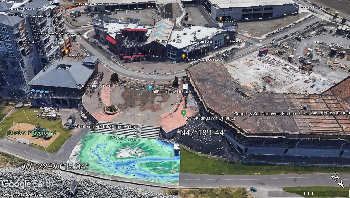
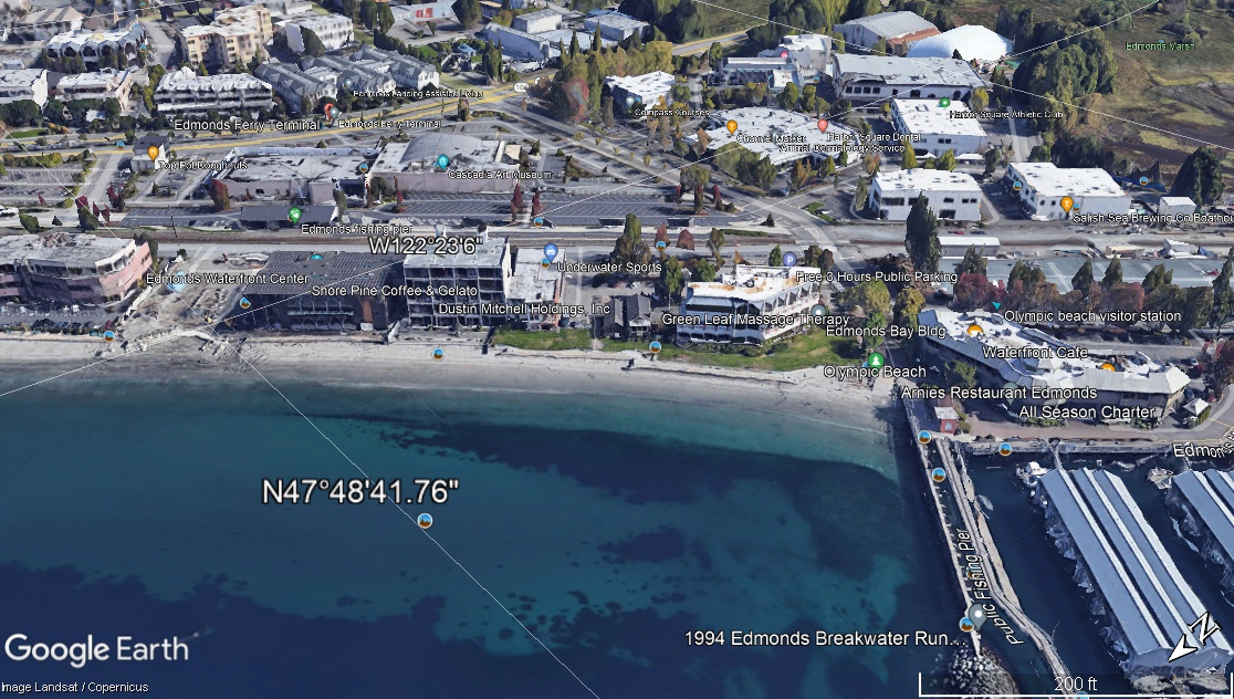
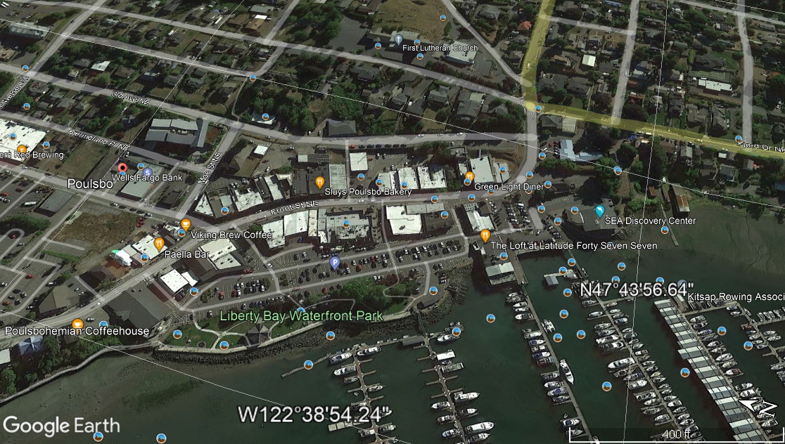
This is a shameless plug for a free program called Google Earth. People with an interest in the Marina often mention Poulsbo, Edmonds, Point Ruston, Tacoma, Kirkland, and other spots, as models we could use for our economic development. I’ve used all these Marinas, so I’ve seen them from both ‘land and sea’. But I’m not sure most people have.
One thing I know for sure–they’re all very different from Des Moines. I tried and couldn’t find a single image that adequately captures any of these places. There’s simply too much ‘there’ there. That’s why having a way to visualise places (as I’ve talked about with a Virtual Marina Tour here) is so valuable.
If only there was a way!
If only there was a way you could fly to each of these places anytime you want and see what’s going on. Well, now you can! There is a a no-cost way you can check out all these places and compare/contrast them with Des Moines. No, it’s not ‘space magic’, it’s Google Earth and Google Earth Pro!
I kill me.
At the most basic level, you can use either to ‘fly’ to any place like a bird and look around; not just from overhead, but also from ‘Streetview’.
If enough people did this, I think we could have a much better discussion as to the ideas we like from other cities and also the challenges there might be to implementing them.
If you have 15-20 minutes for TV, phone scrolling or video games (and I know you do because yer reading this! 😀 ), click the above links and send your questions/comments to citycouncil@desmoineswa.gov. 🙂

But wait! There’s more!
Here are direct links which will let you start flying to each of these places instantly! Go ahead, click it. You know you want to. 😀
Comments
Comments are closed.